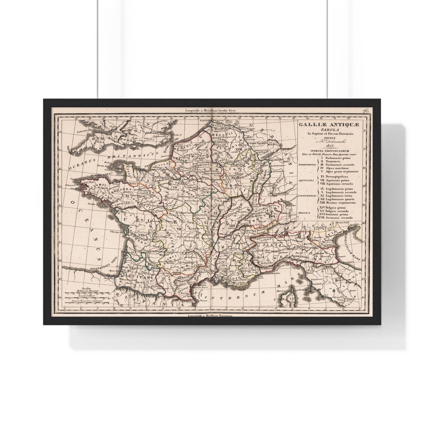
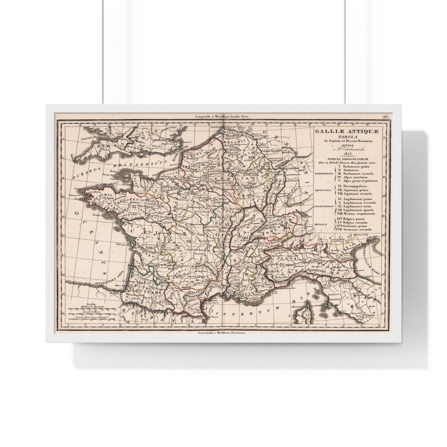
A beautiful antique replica print of a map depicting the ancient provinces of Gaul, in modern-day France, created by Felix Delamarche in 1825 and published in the year 1826 in Paris, France as part of "Atlas De La Geographie Ancienne et moderne, Adopte Par Le Conseil Royal De l'Instruction Publique, A l'usage des Colleges Royaux et des Maisons d'Education, pour suivre les Cours de Geographie et D'Histoire".
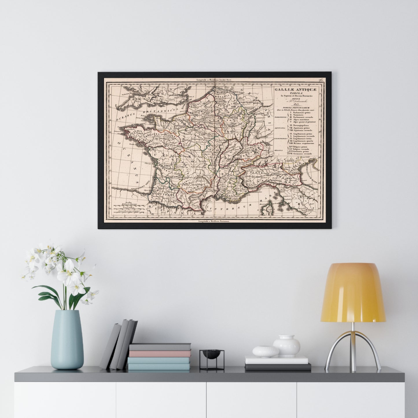
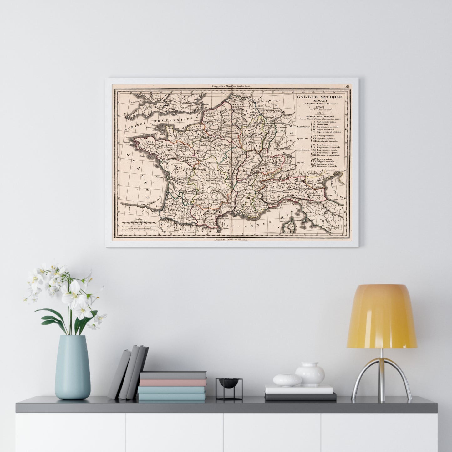
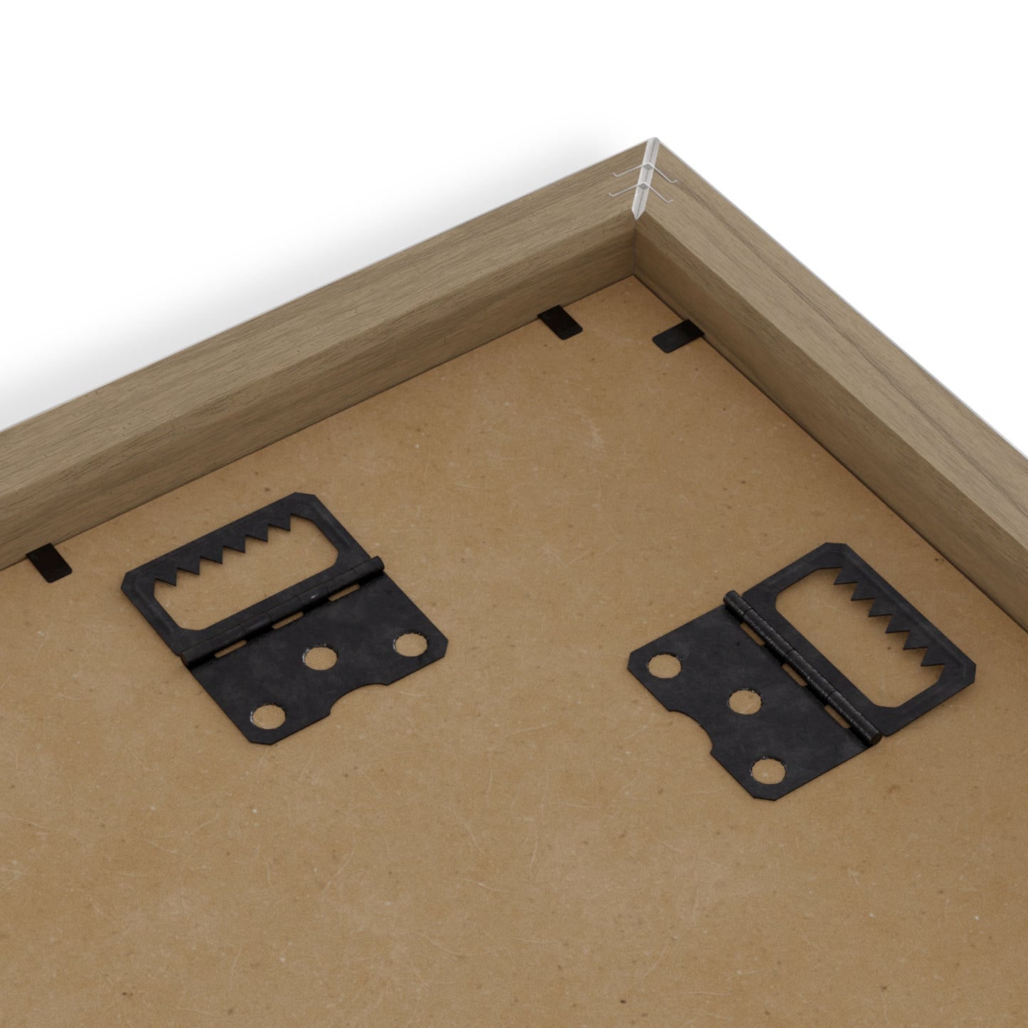
Place great art for your interior decor with this durable wood-framed poster. Frame comes in black or white and is available in 5 versatile sizes.
.: Museum-quality custom frames .: Matte premium paper .: Plexiglass front .: For indoor use .: Multiple sizes