Printify
British Islands - 19th Century Map (Museum Paper Print)
British Islands - 19th Century Map (Museum Paper Print)
Couldn't load pickup availability
Share
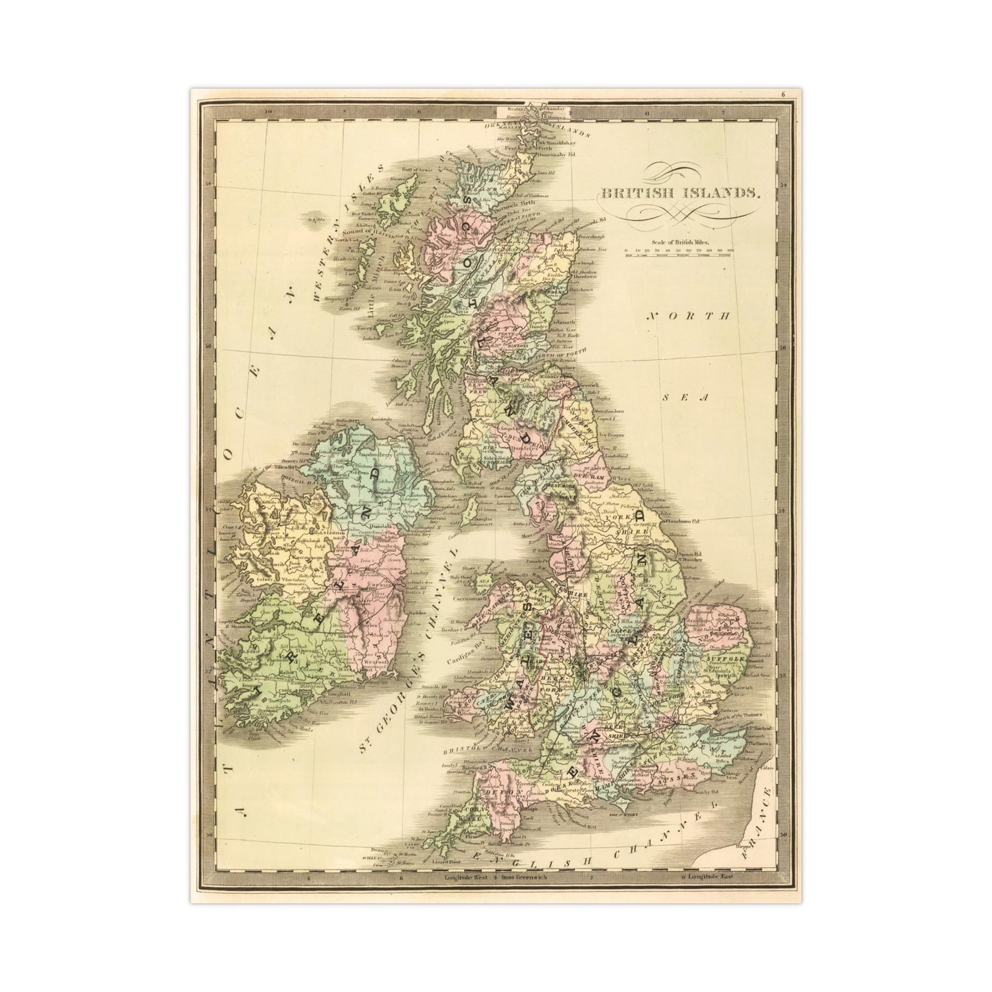
A beautiful antique replica print of an engraved and hand colored map depicting the region of the British Isles, created by Jeremiah Greenleaf in 1848 and published in the same year in "A New Universal Atlas; Comprising Separate Maps Of all the Principal Empires, Kingdoms & States Throughout the World: and forming a distinct Atlas Of The United States. Carefully Compiled from the best Authorities Extant by Jeremiah Greenleaf".
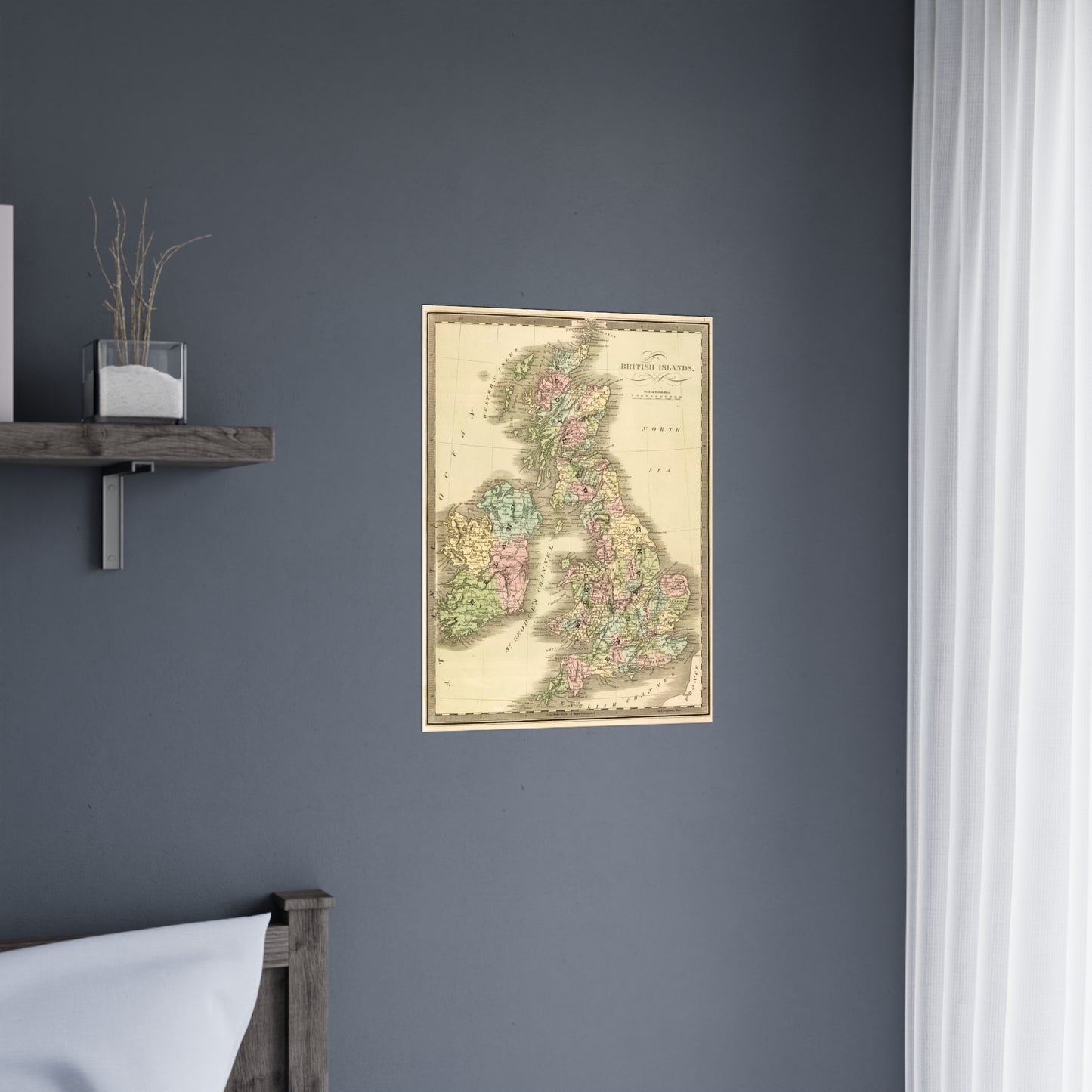
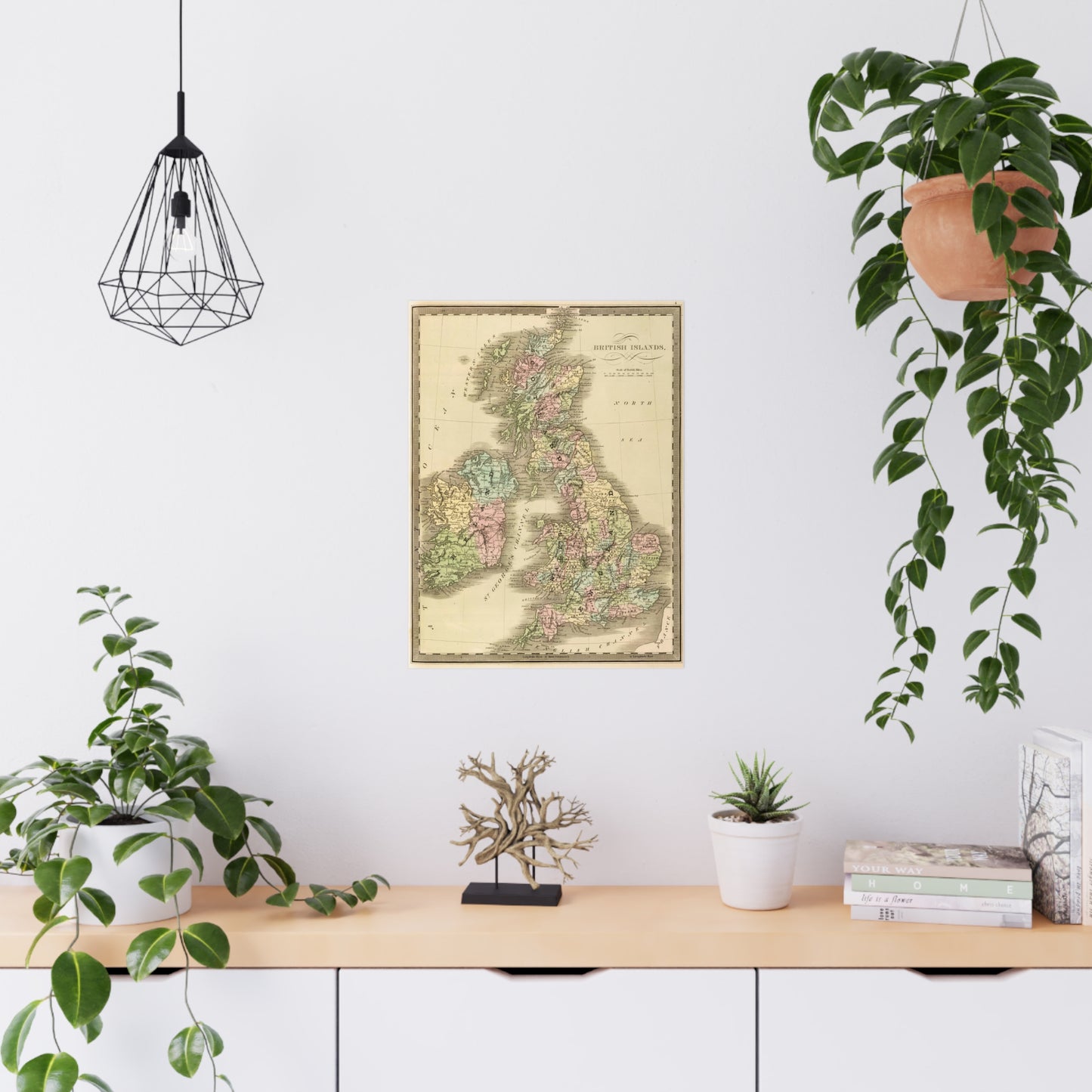
This map comes to life in vivid detail & stunning color. Made with fine art paper (175gsm), an industry-standard choice for professional photographers and artists, these posters come in multiple sizes for you to choose and are perfect for indoor use.
.: 175gsm fine art paper
.: Matte finish
.: 7 sizes to choose from
.: Horizontal, vertical and square options available
.: NB! For indoor use only