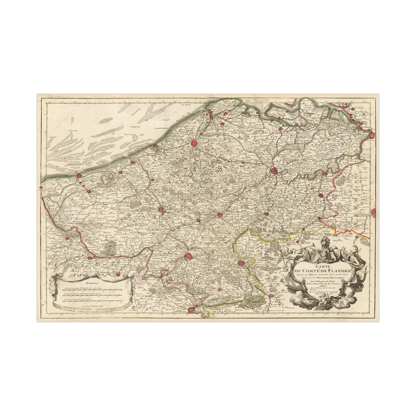
A beautiful antique replica print of a hand engraved map depicting the County of Flanders in modern-day Belgium, created in the year 1704 by Guillaume de L'Isle and published in the year 1731 in Paris, France.
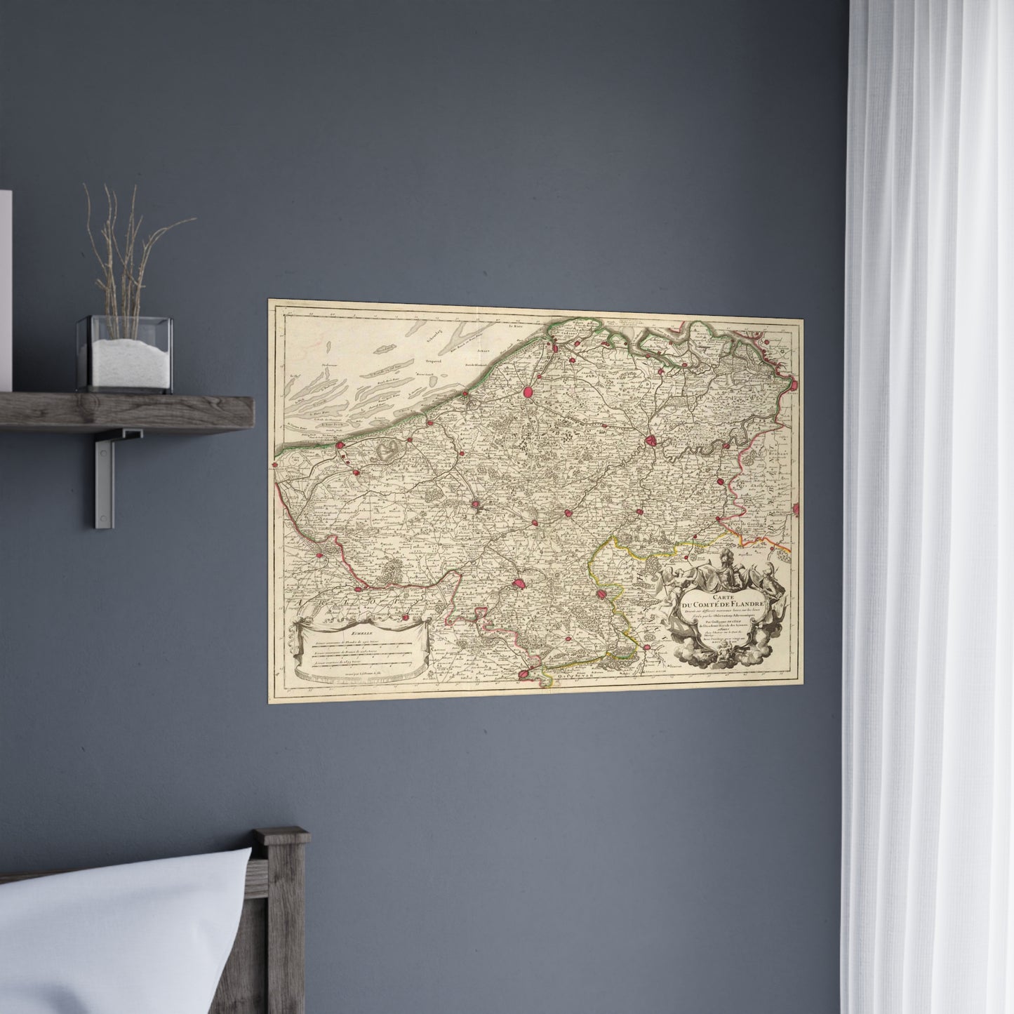
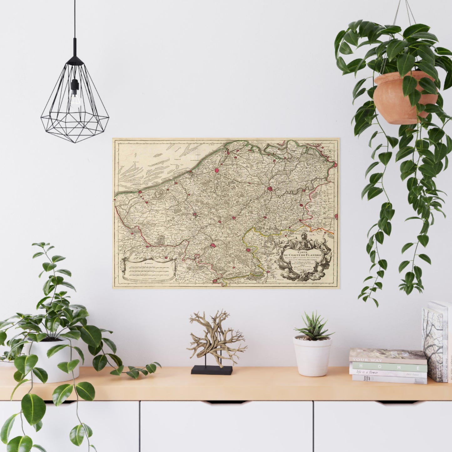
This map comes to life in vivid detail & stunning color. Made with fine art paper (175gsm), an industry-standard choice for professional photographers and artists, these posters come in multiple sizes for you to choose and are perfect for indoor use.
.: 175gsm fine art paper .: Matte finish .: 7 sizes to choose from .: Horizontal, vertical and square options available .: NB! For indoor use only