Printify
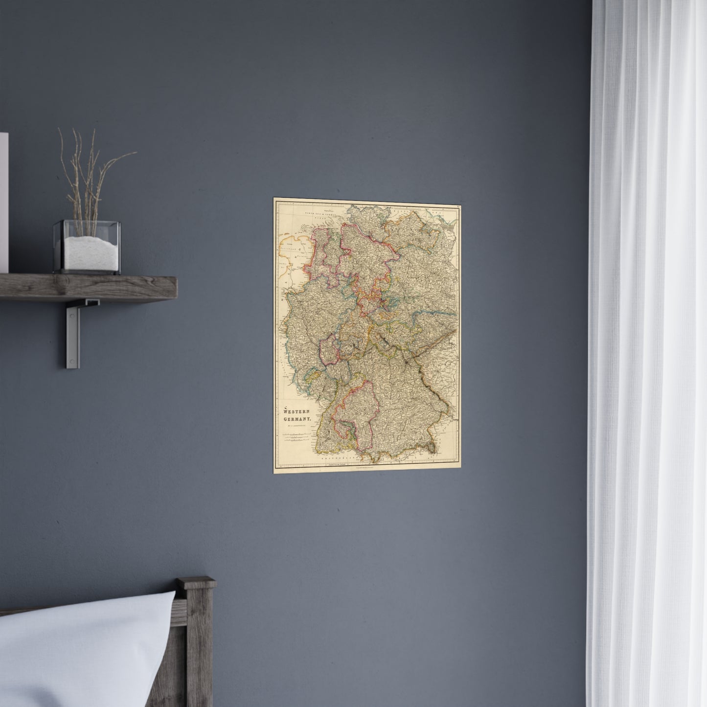
Western Germany - 19th Century Map (Museum Paper Print)
Western Germany - 19th Century Map (Museum Paper Print)
Couldn't load pickup availability
Share
A beautiful antique replica print of an engraved and hand colored map depicting the provinces of Western Germany, created by John Arrowsmith in 1832 and published in the year 1838 in London, as part of "The London atlas of universal geography, exhibiting the physical & political divisions of the various countries of the World, constructed from original materials".
This map comes to life in vivid detail & stunning color. Made with fine art paper (175gsm), an industry-standard choice for professional photographers and artists, these posters come in multiple sizes for you to choose and are perfect for indoor use.
.: 175gsm fine art paper
.: Matte finish
.: 7 sizes to choose from
.: Horizontal, vertical and square options available
.: NB! For indoor use only