1
/
of
4
Printify
Ireland - 1818 Map (Premium Wood Frame)
Regular price
€63,73 EUR
Regular price
Sale price
€63,73 EUR
Unit price
/
per
Tax included.
Couldn't load pickup availability
Share
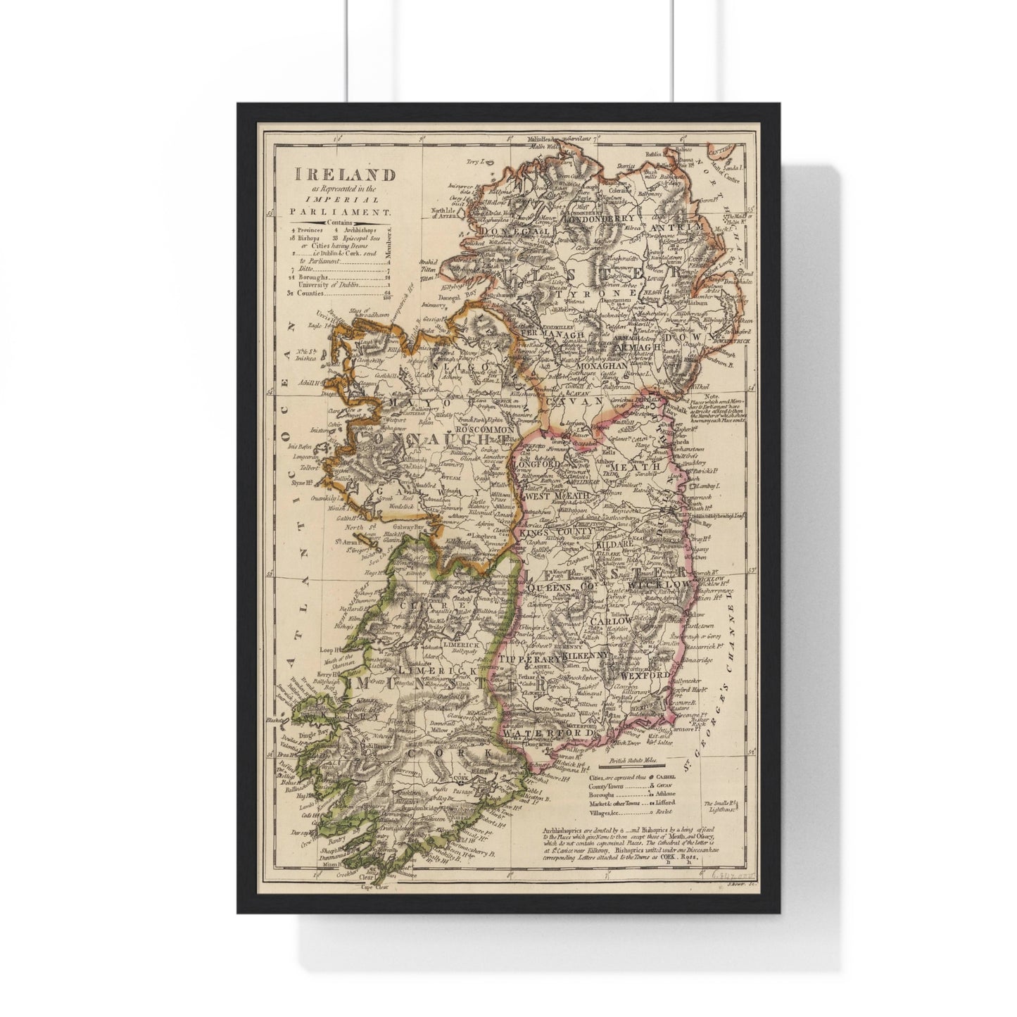
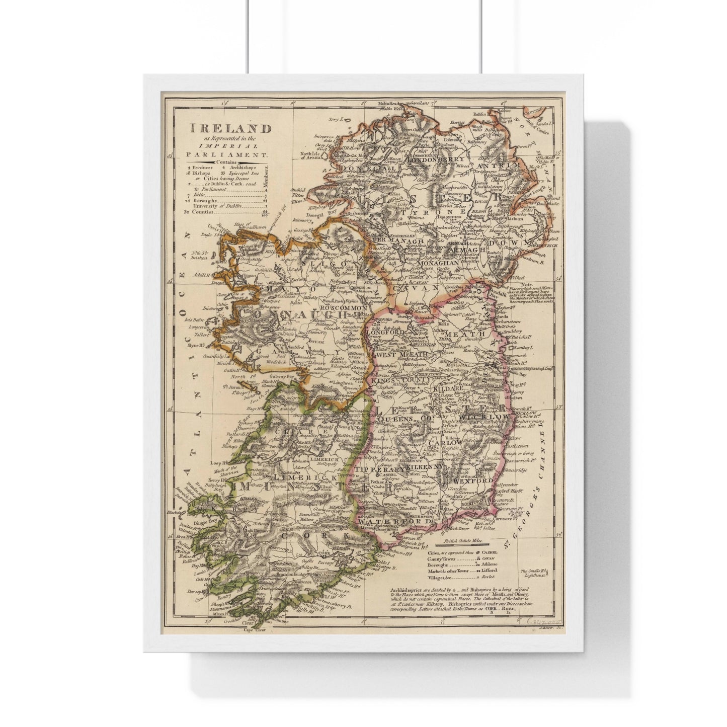
A beautiful antique replica print of a map depicting the provinces of Ireland, created by Mathew Carey and published in the year 1818 in Philadelphia, as part of "Carey's General Atlas, Improved And Enlarged; Being A Collection Of Maps Of The World And Quarters, Their Principal Empires, Kingdoms, &c".
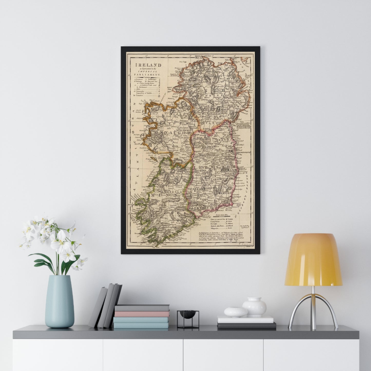
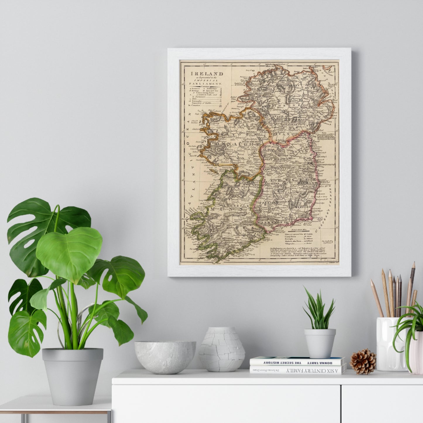
Place great art for your interior decor with this durable wood-framed poster. Frame comes in black or white and is available in 5 versatile sizes.
.: Museum-quality custom frames
.: Matte premium paper
.: Plexiglass front
.: For indoor use
.: Multiple sizes
![Ireland - 1818 Map (Premium Wood Frame)](http://carta-antiqua.com/cdn/shop/files/4145679464479413197_2048.jpg?v=1696157679&width=1445)
![Ireland - 1818 Map (Premium Wood Frame)](http://carta-antiqua.com/cdn/shop/files/1758373326498498587_2048.jpg?v=1696157706&width=1445)
![Ireland - 1818 Map (Premium Wood Frame)](http://carta-antiqua.com/cdn/shop/files/16485990387574996975_2048.jpg?v=1696157708&width=1445)
![Ireland - 1818 Map (Premium Wood Frame)](http://carta-antiqua.com/cdn/shop/files/13795884212487541770_2048.jpg?v=1696157732&width=1445)
![Ireland - 1818 Map (Premium Wood Frame)](http://carta-antiqua.com/cdn/shop/files/17016540042151468750_2048.jpg?v=1696157738&width=1445)