Printify
Netherlands - 19th Century Map (Museum Paper Print)
Netherlands - 19th Century Map (Museum Paper Print)
Couldn't load pickup availability
Share
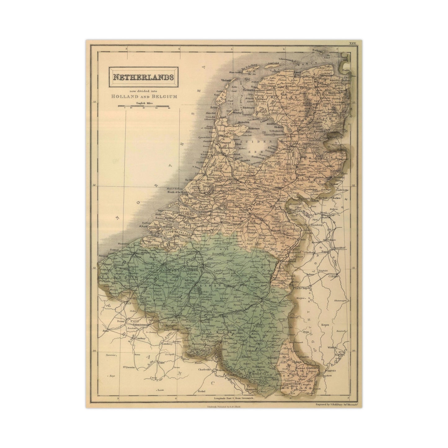
A beautiful antique replica print of a steel engraved map depicting the provinces of Netherlands, created by Sidney Hall and William Hughes and published in the year 1854 in Edinburgh, as part of "General Atlas Of The World: Containing Upwards Of Seventy Maps. Engraved On Steel, In The First Style Of Art, By Sidney Hall, William Hughes". Original title of the map is "Netherlands now divided into Holland and Belgium".
This map comes to life in vivid detail & stunning color. Made with fine art paper (175gsm), an industry-standard choice for professional photographers and artists, these posters come in multiple sizes for you to choose and are perfect for indoor use.
.: 175gsm fine art paper
.: Matte finish
.: 7 sizes to choose from
.: Horizontal, vertical and square options available
.: NB! For indoor use only