Printify
Türkiye - 19th Century Map (Museum Paper Print)
Türkiye - 19th Century Map (Museum Paper Print)
Couldn't load pickup availability
Share
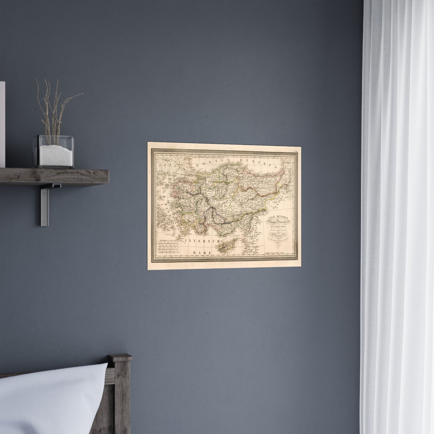
A beautiful antique replica print of an engraved and hand colored map depicting the provinces of modern-day Türkiye, during the times of the Roman Empire, created by L. Vivien de St Martin in 1826 and published in the year 1827 in Paris, France, as part of the "Atlas Universel Pour servir a l'Etude De La Geographie Et De L'Histoire Anciennes et Modernes Dresse Par L. Vivien. Paris". The original title of the map is "Asiae Minoris Mappa Generalis ad Caesarum Tempus".
This map comes to life in vivid detail & stunning color. Made with fine art paper (175gsm), an industry-standard choice for professional photographers and artists, these posters come in multiple sizes for you to choose and are perfect for indoor use.
.: 175gsm fine art paper
.: Matte finish
.: 7 sizes to choose from
.: Horizontal, vertical and square options available
.: NB! For indoor use only